 | ||
|
|
[Background][About the Study Area][Analysis Process][Suitability Assessment][Home] | |
|
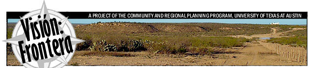
Welcome to Visión: Frontera, a unique project to analyze the suitability of Rancho San Eduardo, in northeastern Mexico, for sustainable human settlement. This project is being conducted by the Community and Regional Planning Program at the University of Texas. The following reports introduce the project mission, describe the characteristics of the study area, explain the environmental analysis we conducted, and report our findings regarding the land's inherent suitability for agriculture, settlement and preservation. The data referred to at left and on subsequent pages are not all available online. They are nevertheless listed on these pages to indicate the extent of the information gathered and generated throughout the course. PDF, JPG and TIF files are linked online, where appropriate.
This project is being conducted by graduate students in the Graduate Program in Community and Regional Planning at the University of Texas at Austin, School of Architecture. Professor Kent Butler is supervising the project. Click here to meet the project team.
|