|
The
following aerial photography was made available in the final digital report: an overlapping, stereoscopic set of
black and white aerial photos
[April 1994, 1:24,000 scale] from TxDOT,
which were enlarged and scanned at a resolution of 600 dpi. Their on-land
resolution is about 0.4 meters per pixel. These image
files are very large and are not available online.
- Black
and White Aerial Photograph, North Segment of San Eduardo
Ranch,
1994
- Black
and White Aerial Photograph, South Segment of San Eduardo
Ranch,
1994
- Black
and White Aerial Photograph, East Segment of San Eduardo
Ranch, 1994
- Black
and White Aerial Photograph, West Segment of San Eduardo
Ranch, 1994
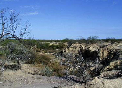
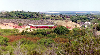
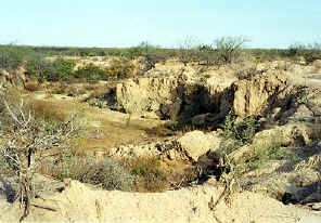
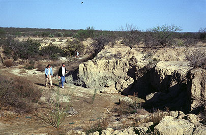
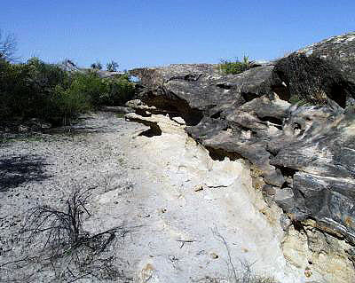
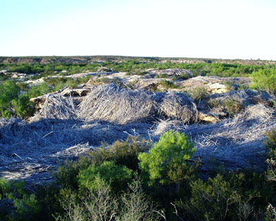
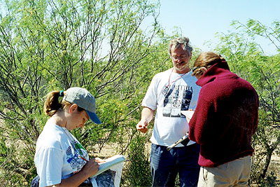
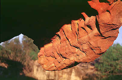
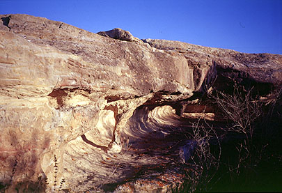
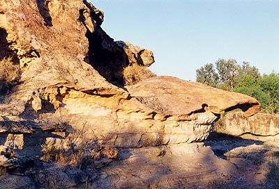
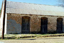
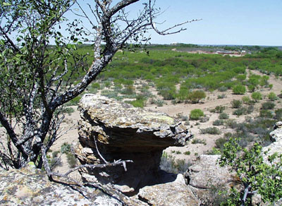
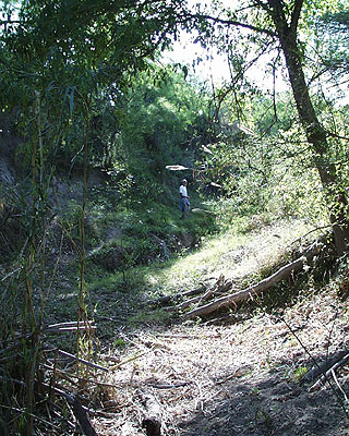
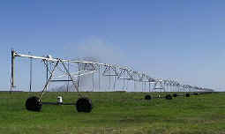
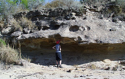
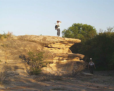
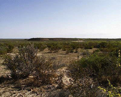
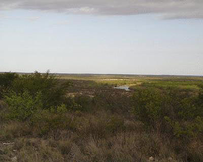
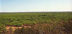
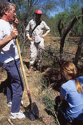
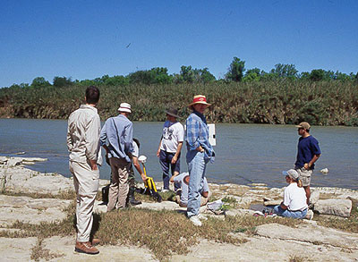
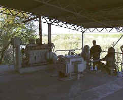
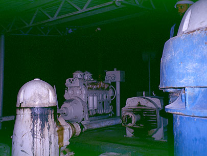
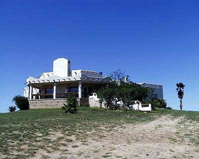
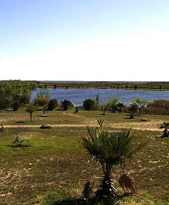
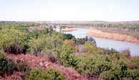
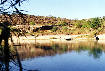
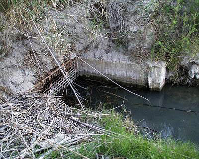
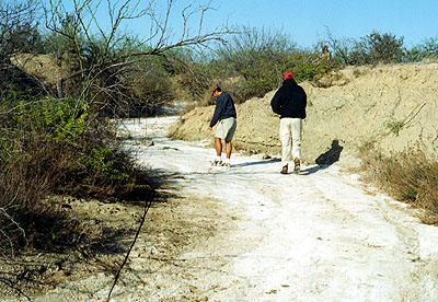
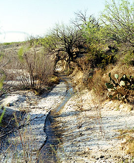
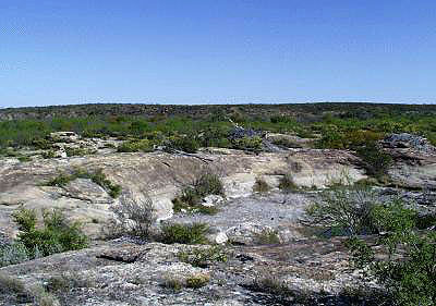
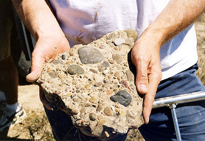
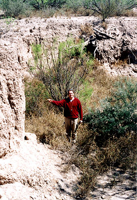
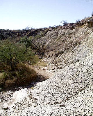
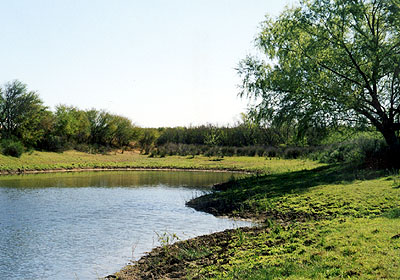
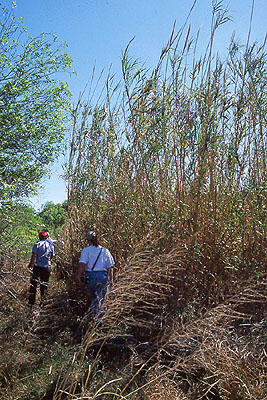
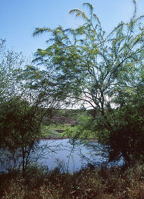
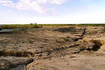
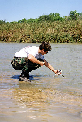
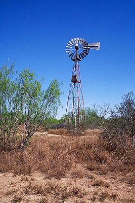
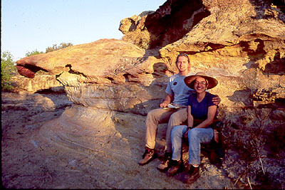
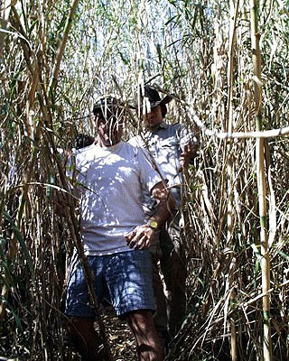
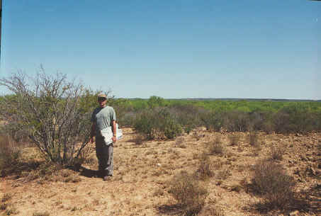
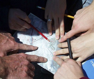
The
following photographs were taken in the field in February and March,
2000. Most of these photos are included elsewhere in the
report. They are presented here, without annotation, as a visual
description of the ranch property. |