 | ||
|
|
[Background][About the Study Area][Analysis Process][ Suitability Assessment][Home] | |
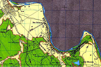
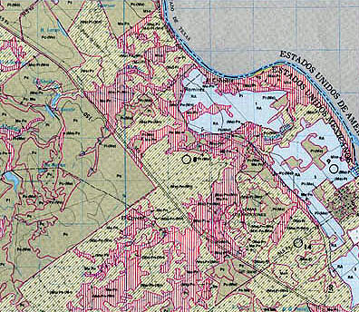
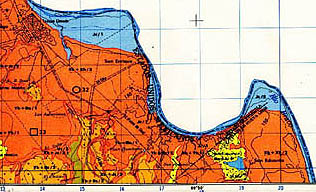
The
following maps were used as a basis for the preliminary environmental analysis
of Visión: Frontera. This information should be useful for future researchers and planners on
Rancho San Eduardo. These image files are very large and are not
available online. (Small JPGs are included below
for your reference.)
Geology -
Villa Hidalgo G14A17 Vegetation and Land Use - Colombia G14A27
Soils -
Villa Hidalgo G14A17 Continue
to |
|||||||||||||